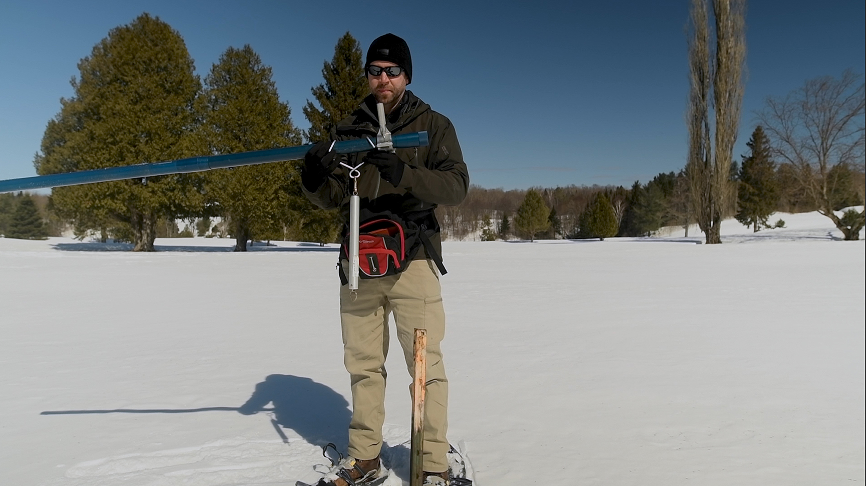
April 1, 2019 Snow Survey Measurements at North Bay Golf and Country Club, Chippewa Creek Subwatershed. Joel Harrison, Water Resource Scientist
(North Bay, Ontario, April 2, 2019) Snow depth measured on April 1 remains about 250 per cent above the long-term average for this time of year and water equivalence is about 200 per cent above according to the North Bay-Mattawa Conservation Authority which measures the snowpack as part of its flood forecasting initiatives.
“Water equivalence has decreased about 9 mm over the past two weeks,” said Joel Harrison, NBMCA’s Water Resource Scientist. “However, more melting of the snowpack will happen later this week due to the forecast rain and warmer temperatures.”
The snow depth average at the three sites is 67.7cm (256% of the long-term average for this time of year), down 6.7cm since the last snow survey readings March 22. Meanwhile, the water equivalence of the snow pack has decreased by 9mm to 169mm (204% of the long-term average).
The long-term averages reflect measurements taken by NBMCA since it began measuring snow depth and water equivalence in 1987 as part of its Flood Forecasting Program.
NBMCA now measures in three locations including the North Bay Golf and Country Club (Chippewa Creek watershed), the Corbeil Conservation Area (LaVase River watershed) and Shirley Skinner Conservation Area (Kaibuskong River Watershed).
North Bay Golf and Country Club (Chippewa Creek Watershed, North Bay)
*Data prior to Dec. 2011 collected at the former Northeast Mental Health Centre, Hwy 11
|
Current Average Snow Depth for April 1, 2019 |
71.5 cm (283% of normal) |
|
Current Average Water Equivalence for April 1 1, 2019 |
157 mm(180% of normal) |
|
Average Snow Depth for April 1, 2018 |
39.5 cm |
|
Highest recorded snow depth for April 1 since 2012* |
75.7 cm in 2014 |
Corbeil Conservation Area (La Vase River Watershed, Corbeil)
|
Current Average Snow Depth for April 1, 2019 |
60.4 cm (242% of normal) |
|
Current Average Water Equivalence for April 1, 2019 |
167 mm(223% of normal) |
|
Average Snow Depth for April 1, 2018 |
28.9 cm |
|
Highest recorded snow depth for April 1 since 1988 |
71.9 cm in 2014 |
Shirley Skinner Conservation Area (Kaibuskong River Watershed, Chisholm)
|
Current Average Snow Depth for April 1, 2019 |
71.3 cm (242% of normal) |
|
Current Average Water Equivalence for April 1, 2019 |
183 mm (209% of normal) |
|
Average Snow Depth for April 1, 2018 |
31.4 cm |
|
Highest recorded snow depth for April 1 since 2007 |
71.3 cm in 2019 |
Summary, Change & Comparison
|
Average Depth for all sites |
67.7 cm (256% of normal) |
|
Average snow water equivalence for all sites |
169 mm (204% of normal) |
|
Change in average snow depth since March 22, 2019 Change in average water equivalence since March 22, 2019 Average Depth for all sites April 1, 2018 Average water equivalence for all sites April 1, 2018 |
-6.7 cm -9 mm 33.3 cm 91.7 mm |
The North Bay-Mattawa Conservation Authority (NBMCA) was founded in 1972 by the Province of Ontario and the NBMCA’s 10 member municipalities. A non-profit organization, the NBMCA works closely with the public to balance human needs with the environmental needs of the region’s watershed. NBMCA is one of 36 Conservation Authorities who are members of Conservation Ontario.
You can follow NBMCA on twitter @theNBMCA and on facebook.com/NBMCA.
For more information, contact:
Sue Buckle, Manager, Communications & Outreach, (705) 474-5420
Joel Harrison, Water Resources Scientist, (705) 474-5420