(North Bay, Ontario, March 16, 2023) The average snow depth increased by 4.2 cm and the average water equivalence increased by 20.0 mm since March 2, 2023 reports the North Bay-Mattawa Conservation Authority (NBMCA) who measures snow depth and water content as part of its Flood Forecasting and Warning Program.
“Average snow depth for all sites is 58.4 cm (130% normal) and average water equivalence is 145.3 mm (126% normal),” said Angela Mills, NBMCA Water Resources Specialist. In 2022, the average snow depth for the three sites was 51.7 cm and water equivalence was 95.0 mm at this time of year” she added.
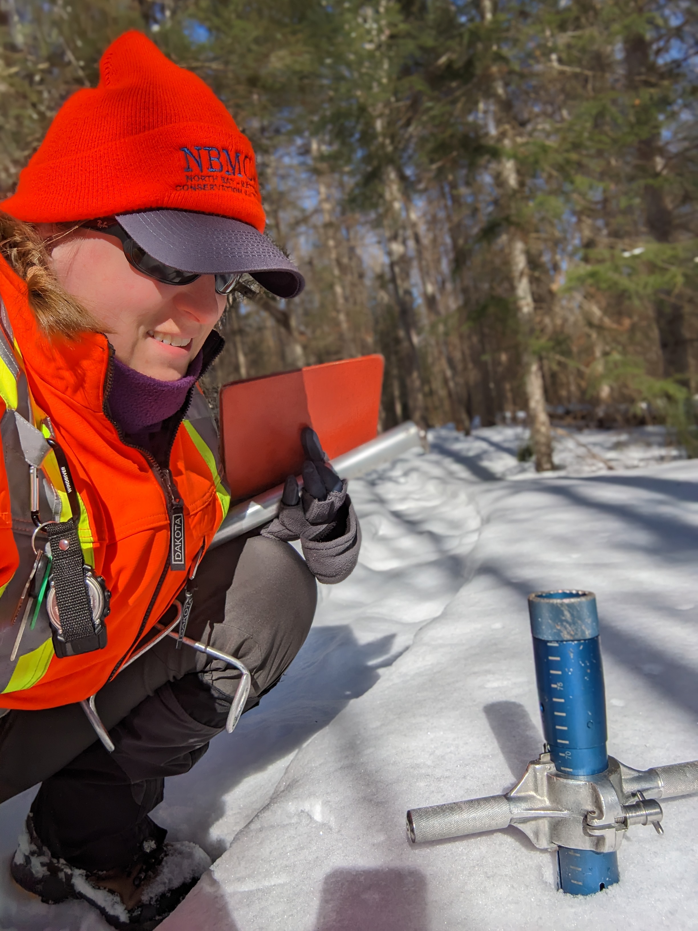
NBMCA is now measuring the snowpack weekly, to monitor conditions leading up to and during the spring freshet, said Chitra Gowda, NBMCA CAO, Secretary Treasurer. “The risk of flooding will be dependent on how fast the snow melts more than how the volume of water stored in the snow pack compares to normal”, she added.
The first supplementary survey was March 8, and the next supplementary survey will be March 23, which will be compared to this week’s survey, but no percent normal data will be available for supplementary surveys.
Snow is measured for depth and water equivalence at three locations in the watershed.
North Bay Golf and Country Club (Chippewa Creek Watershed, North Bay)
*Data prior to Dec. 2011 collected at the former Northeast Mental Health Centre, Hwy 11
|
Current Average Snow Depth for March 15, 2023 |
59.5 cm (137% of normal) |
|
Current Average Water Equivalence for March 15, 2023 |
160 mm (139% of normal) |
|
Average Snow Depth for March 15, 2022 |
43.3 cm |
|
Highest recorded snow depth for March 15 since 2012* |
95.3 cm in 2019 |
Corbeil Conservation Area (La Vase River Watershed, Corbeil)
|
Current Average Snow Depth for March 15, 2023 |
57.6 cm (125% of normal) |
|
Current Average Water Equivalence for March 15, 2023 |
114 mm (97% of normal) |
|
Average Snow Depth for March 15, 2022 |
46.0 cm |
|
Highest recorded snow depth for March 15 since 1988 |
90.2 cm in 2001 |
Shirley Skinner Conservation Area (Kaibuskong River Watershed, Chisholm)
|
Current Average Snow Depth for March 15, 2023 |
58.1 cm (127% of normal) |
|
Current Average Water Equivalence for March 15, 2023 |
162 mm (147% of normal) |
|
Average Snow Depth for March 15, 2022 Highest recorded snow depth for March 15 since 2007 |
45.6 cm 87.2 cm in 2019 |
The North Bay-Mattawa Conservation Authority (NBMCA) was founded in 1972 by the Province of Ontario and the NBMCA’s 10 member municipalities. NBMCA is one of 36 Conservation Authorities in Ontario responsible for watershed management on behalf of local municipalities, stakeholders, and the province.
The public can follow NBMCA on the web at nbmca.ca, on Twitter (@theNBMCA), Facebook (@theNBMCA) and Instagram (nbmcainfo).
For more information, contact:
Angela Mills, Water Resources Specialist, (705) 497-4668
Chitra Gowda, CAO, Secretary Treasurer (705) 474-5420