(North Bay, ON, January 16, 2023) Snow is lighter, with denser snow below from previous snow melts and has an average snow depth increase of 19.7 cm since January 3, 2023 reports the North Bay-Mattawa Conservation Authority (NBMCA) who measures snow depth and water content as part of its Flood Forecasting and Warning Program.
“Snow depth is getting closer to normal for this time of year and the water stored in the snowpack is a little above normal” said Angela Mills, NBMCA Water Resources Specialist.
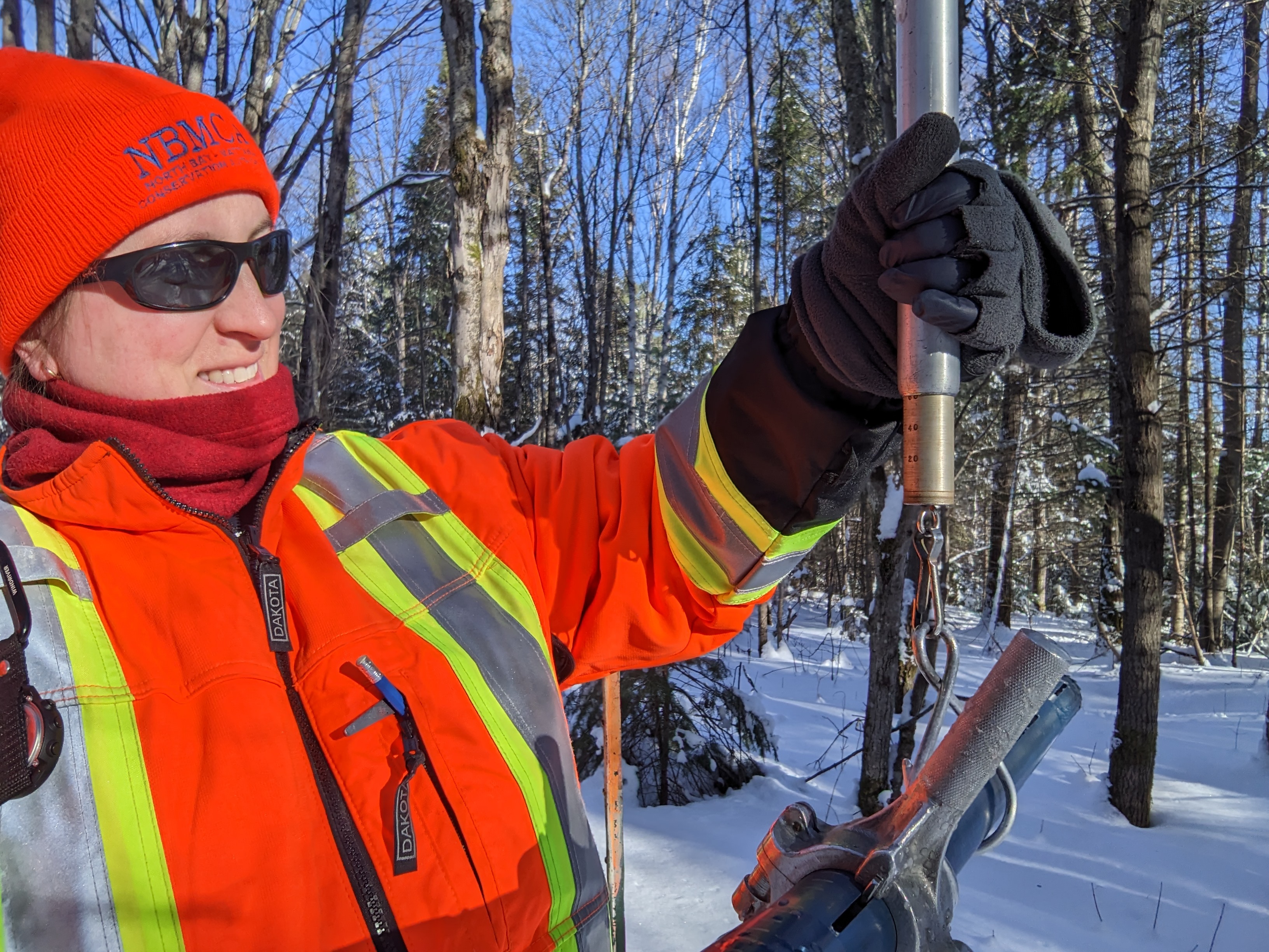
“Snow surveys are part of NBMCA’s role in the Provincial Flood Forecasting and Warning Program”, said Chitra Gowda, CAO/Secretary-Treasurer. “Tracking long-term snow conditions also helps us better understand possible climate change effects, such as a delayed start of permanent snowpack in early winter”, she added.
Snow is measured for depth and water equivalence at three locations in the watershed.
North Bay Golf and Country Club (Chippewa Creek Watershed, North Bay)
*Data prior to Dec. 2011 collected at the former Northeast Mental Health Centre, Hwy 11
|
Current Average Snow Depth for January 16, 2023 |
33.8 cm (107% of normal) |
|
Current Average Water Equivalence for January 16, 2023 |
80 mm (118% of normal) |
|
Average Snow Depth for January 16, 2022 |
31.5 cm |
|
Highest recorded snow depth for January 16 since 2012* |
51.6 cm in 2019 |
Corbeil Conservation Area (La Vase River Watershed, Corbeil)
|
Current Average Snow Depth for January 16, 2023 |
30.6 cm (88% of normal) |
|
Current Average Water Equivalence for January 16, 2023 |
63 mm (108% of normal) |
|
Average Snow Depth for January 16, 2022 |
34.8 cm |
|
Highest recorded snow depth for January 16 since 1988 |
63.0 cm in 2009 |
Shirley Skinner Conservation Area (Kaibuskong River Watershed, Chisholm)
|
Current Average Snow Depth for January 16, 2023 |
27.2 cm (79% of normal) |
|
Current Average Water Equivalence for January 16, 2023 |
64 mm (104% of normal) |
|
Average Snow Depth for January 16, 2022 Highest recorded snow depth for January 16 since 2007 |
34.4 cm 57.9 cm in 2019 |
The North Bay-Mattawa Conservation Authority (NBMCA) was founded in 1972 by the Province of Ontario and the NBMCA’s 10 member municipalities. NBMCA is one of 36 Conservation Authorities in Ontario responsible for watershed management on behalf of local municipalities, stakeholders, and the province.
The public can follow NBMCA on the web at nbmca.ca, on Twitter (@theNBMCA), Facebook (@theNBMCA) and Instagram (nbmcainfo).
For more information, contact:
Sue Buckle, Manager, Communications and Outreach, cell (705) 497-4999
Angela Mills, Water Resources Specialist, (705) 474-5420