(North Bay, Ontario, April 15, 2020) Today, two of the three snow survey stations are now without snow, bringing the average snow depth to 1 cm, down from 3.9 cm measured on April 8 by the North Bay-Mattawa Conservation Authority (NBMCA) as part of its flood forecasting program.
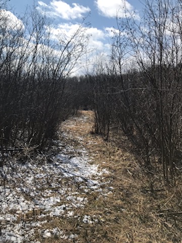
Snow remains at the Shirley Skinner Conservation Area in Chisholm Township measuring 3 cm. The average snow depth for the three sites is 1 cm and the average water equivalence for the three sites is 2.3 mm. By comparison to last year’s spring melt, the average snow depth at this time of year was 51.8 cm.
As the snow melt winds down, water levels continue to decline on Chippewa Creek, the La Vase River, and the Wasi River, and are slightly below average levels for this time of year. The Amable du Fond River has remained at a relatively constant level following its rise for the last few weeks, and is at an average level for this stage of the melt.
The Ottawa River is rising slightly this morning, currently at 152.63m at Mattawa, which is just slightly above an average level. Lake Nipissing is around 195.44m at North Bay, it is still rising and is slightly above average for this time of year (likely due to the early melt). Both Lake Nipissing and Mattawa River could still be influenced by melting snow in the northern subwatersheds which feed into these waterbodies.
Snow is measured for depth and water equivalence at three locations in the watershed.
North Bay Golf and Country Club (Chippewa Creek Watershed, North Bay)
*Data prior to Dec. 2011 collected at the former Northeast Mental Health Centre, Hwy 11
|
Current Average Snow Depth for April 15, 2020 |
0 cm |
|
Current Average Water Equivalence for April 15, 2020 |
0 mm |
|
Average Snow Depth for April 15, 2019 |
47.1 cm |
|
Highest recorded snow depth for April 15 since 2012* |
49.9 cm in 2018 |
|
|
|
Corbeil Conservation Area (La Vase River Watershed, Corbeil)
|
Current Average Snow Depth for April 15, 2020 |
0 cm |
|
Current Average Water Equivalence for April 15, 2020 |
0 mm |
|
Average Snow Depth for April 15, 2019 |
35.2 cm |
|
Highest recorded snow depth for April 15 since 1988 |
36.3 cm in 2018 |
|
|
|
Shirley Skinner Conservation Area (Kaibuskong River Watershed, Chisholm)
|
Current Average Snow Depth for April 15, 2020 |
3 cm ( 16% of normal) |
|
Current Average Water Equivalence for April 15, 2020 |
7 mm (14% of normal) |
|
Average Snow Depth for April 15, 2019 Highest recorded snow depth for April 15 since 2007 |
58.6 cm 58.6 cm in 2019 |
The North Bay-Mattawa Conservation Authority (NBMCA) was founded in 1972 by the Province of Ontario and the NBMCA’s 10 member municipalities. A non-profit organization, the NBMCA works closely with the public to balance human needs with the environmental needs of the region’s watershed. NBMCA is one of 36 Conservation Authorities who are members of Conservation Ontario.
You can follow NBMCA on twitter @theNBMCA and on facebook.com/theNBMCA.
For more information, contact:
Sue Buckle, Manager, Communications & Outreach, (705) 497-4999
Kurtis Romanchuk, Water Resources Engineer, (705) 474-5420