(North Bay, Ontario, April 22, 2020) In the past week, due to two snowfalls snow depth has increased by an average of 1.1 cm and water equivalence has increased by an average of 0.7 mm since the North Bay-Mattawa Conservation Authority (NBMCA) undertook snow pack measurements taken April 15.
The average snow depth for the three sites is 2.1 cm and the average water equivalence for the three sites is 3 mm.
NBMCA is now measuring the snow pack weekly to monitor conditions during the spring freshet. The % normal will be available during the next snow survey which takes place April 29.
As part of NBMCA’s flood forecasting program, snow is measured for depth and water equivalence at three locations in the watershed and water levels are monitored at various watercourses.
As of this morning, water levels on Chippewa Creek, the La Vase River, and the Wasi River remains below average levels for this time of year. Water levels continue to decline on the Amable du Fond River, slightly below average for this time of year. Lake Nipissing level decreased slightly around North Bay, and is currently at 195.53m. The Ottawa River at Mattawa has remained relatively steady around 152.34m for the past few days, which is an average level for this time of year.
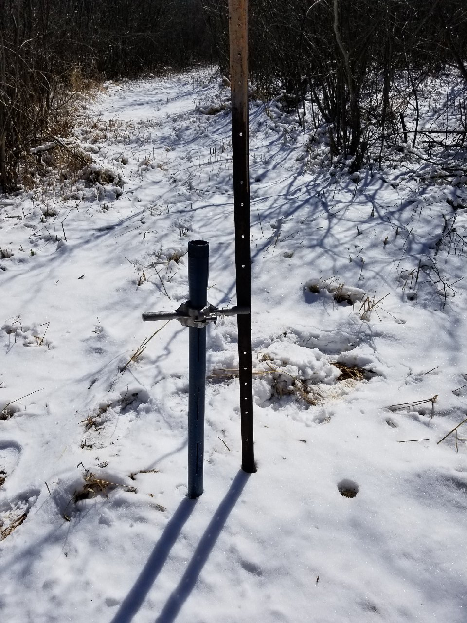
North Bay Golf and Country Club (Chippewa Creek Watershed, North Bay)
*Data prior to Dec. 2011 collected at the former Northeast Mental Health Centre, Hwy 11N
|
Current Average Snow Depth for April 22, 2020 |
1.3 cm |
|
Current Average Water Equivalence for April 22, 2020 |
1 mm |
|
Average Snow Depth for April 22, 2019 |
0 cm |
|
Average Water Equivalence for April 22, 2019 |
0 mm |
Corbeil Conservation Area (La Vase River Watershed, Corbeil)
|
Current Average Snow Depth for April 22, 2020 |
0.9 cm |
|
Current Average Water Equivalence for April 22, 2020 |
1 mm |
|
Average Snow Depth for April 22, 2019 |
0 cm |
|
Average Water Equivalence for April 22, 2019 |
0 mm |
Shirley Skinner Conservation Area (Kaibuskong River Watershed, Chisholm)
|
Current Average Snow Depth for April 22, 2020 |
4 cm |
|
Current Average Water Equivalence for April 22, 2020 |
7 mm |
|
Average Snow Depth for April 22, 2019 |
13.9 cm |
|
Average Water Equivalence for April 22, 2019 |
44 mm |
The North Bay-Mattawa Conservation Authority (NBMCA) was founded in 1972 by the Province of Ontario and the NBMCA’s 10 member municipalities. A non-profit organization, the NBMCA works closely with the public to balance human needs with the environmental needs of the region’s watershed. NBMCA is one of 36 Conservation Authorities who are members of Conservation Ontario.
You can follow NBMCA on twitter @theNBMCA and on facebook.com/theNBMCA.
For more information, contact:
Sue Buckle, Manager, Communications & Outreach, cell (705) 497-4999
Kurtis Romanchuk, Water Resources Engineer, (705) 474-5420