The Ontario Ministry of Natural Resources & Forestry (MNRF) and Ontario's Conservation Authorities use the following terminology when issuing flood messaging. This provides consistency across the province and incorporates the familiar wording used by weather agencies such as Environment Canada and The Weather Network.
At any time of the year, when there is flooding, NBMCA can issue three levels of messages for the watershed within its jurisdiction:
WATERSHED CONDITIONS STATEMENT: (Yellow icon) General notices of potential flooding or other conditions that pose a safety risk. There are two kinds of statements:
- Water Safety indicates high flows, unsafe banks, melting ice or other factors could be dangerous for users such as anglers, boaters, swimmers, children or pets. Flooding is not expected.
![]()
- Flood Outlook gives early notice of the potential for flooding based on weather forecasts calling for heavy rain, snow melt, high wind or other conditions that could lead to high runoff, cause ice jams, lakeshore flooding or erosion.
![]()

FLOOD WATCH: (Orange icon) The potential for flooding exists within specific watercourses and municipalities. Municipalities, emergency services and individual landowners in flood-prone areas should prepare.
![]()
 FLOOD WARNING: (Red icon on) Flooding is imminent or already occurring in specific watercourses or municipalities. Municipalities and individuals should take action to deal with flood conditions. This may include road closures and evacuations.
![]()
Flooding can happen at any time. Heavy rains, snowmelt, spring breakup and ice jams, wind-related storm surges, or the failure of dams can cause flooding.
Flood forecast messages enable NBMCA and municipalities to prepare for, track and manage local flooding. Advance warning provides Municipalities with the opportunity to activate emergency plans, evacuate communities if necessary, and secure property in areas that are more likely to flood.
Monitoring weather and watershed conditions is a shared responsibility of Conservation Authorities, MNRF, and Environment and Climate Change Canada. When flooding is possible or about to occur, Conservation Authorities issue flood messages to municipal emergency management officials and the media. The municipal officials then take action to warn local residents.
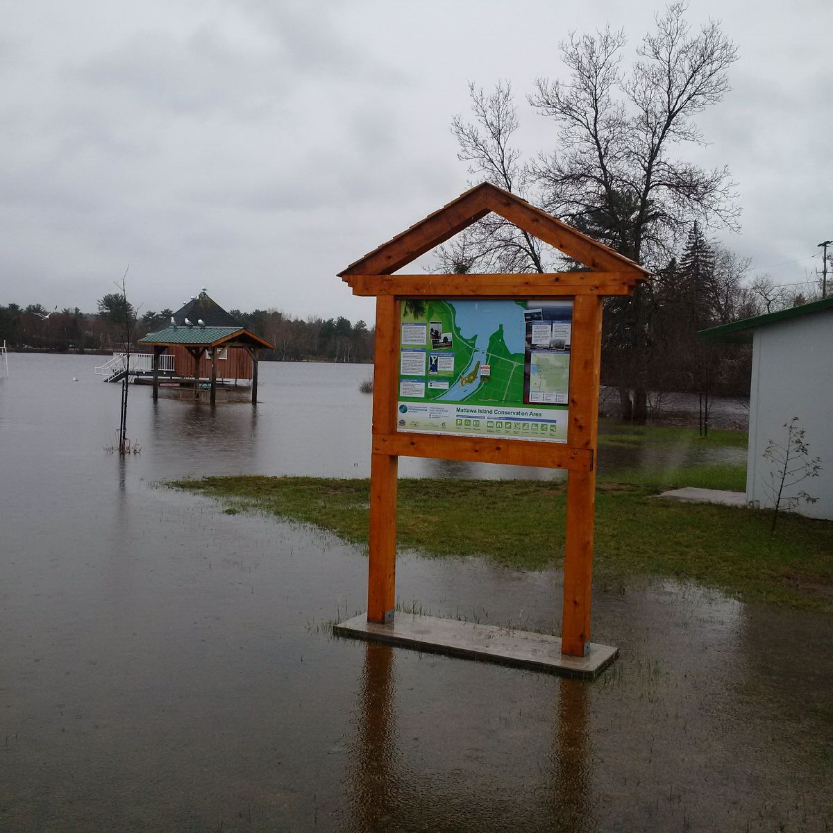
NBMCA advises the general public through this website with the flood status icon and a link to information about current conditions. NBMCA also issues these messages to the public through local media and social media including Twitter @theNBMCA, Facebook @theNBMCA and Instagram nbmcainfo. The public is invited to submit photos of any watershed condition to Twitter @theNBMCA or email nbmca@nbmca.ca.
MNRF also provides Provincial flood forecast messages and weather forecasts to enable us to prepare for, track, and manage local flooding.