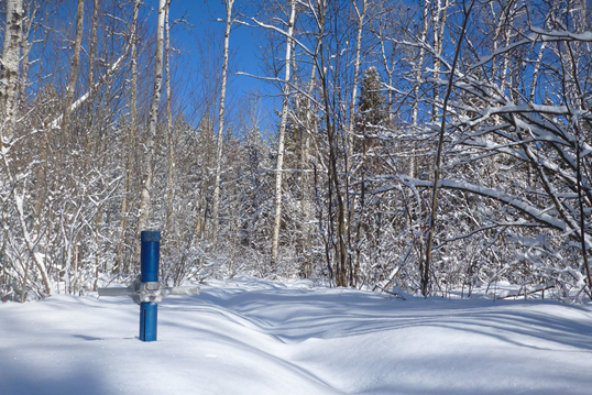
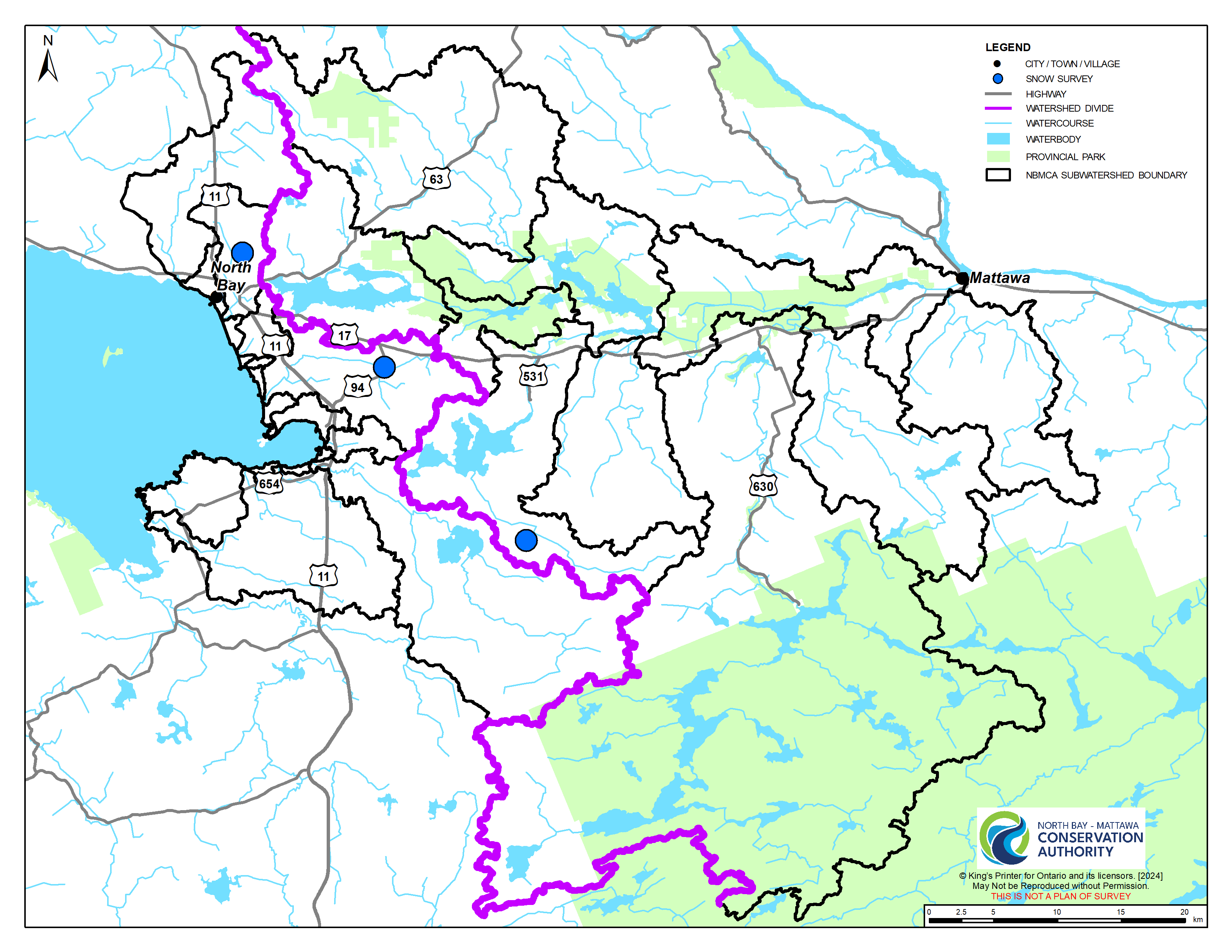
Staff conduct snow surveys at three locations throughout the NBMCA watershed: North Bay Golf and Country Club (Chippewa Creek subwatershed in North Bay), Corbeil Conservation Area (La Vase River subwatershed in East Ferris), and Shirley Skinner Conservation Area (Kaibuskong River subwatershed in Chisholm).
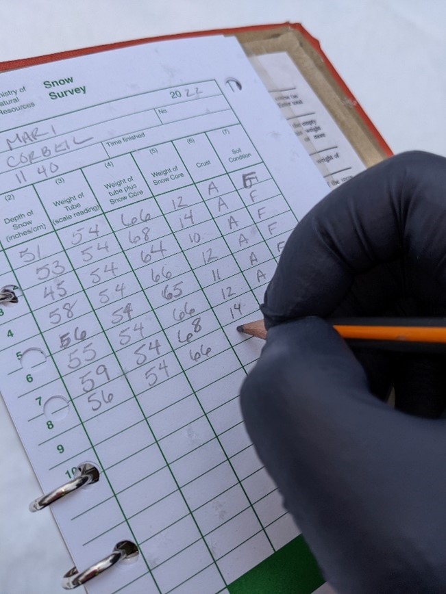
Each site has ten stations where snow depth and weight of a snow core sample are measured and averaged for the 10 stations at the survey location. Measurements are taken in undisturbed snow for the best representation of watershed conditions.
The weight of the snow core is converted to snow water equivalent (SWE), which is the amount of water stored in the snowpack and reported as the depth of water that would cover the ground if it were in a liquid state.
NBMCA’s measurements are reported to the Ministry of Natural Resources and Forestry's Surface Water Monitoring Centre. This data contributes to local and provincial-scale Flood Forecast and Warning programs. The snow surveys are conducted across the province twice monthly normally on the 1st and 15th of the month between November 15th and May 15th.
In more recent years, NBMCA has conducted additional surveys on the 8th and 23rd of March and April to prepare for spring freshet. More data is needed to report normal conditions for these supplemental survey dates.
How are measurements taken?
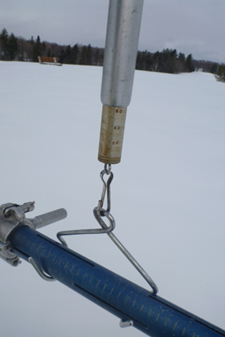
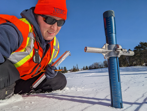
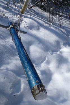
Step 1: Weigh the empty snow tube. The snow tube is an aluminum tube with ice-cutting teeth on the bottom. It is marked in 1 cm increments.
Step 2: Measure the depth of the snowpack to soil using the snow tube. To ensure a full snow core profile, a plug of soil is collected after snow depth is noted.
Step 3: Remove the soil plug and weigh the snow tube with snow core. The difference in weight is used to calculate the amount of water stored in the snowpack.
Step 4: Record all observations of depth, weight, type of snow crust (if present), and soil conditions (unfrozen wet, unfrozen dry, frozen). These observations and measurements are taken at ten stations for each snow course. Results from these ten stations are averaged to characterize snow conditions at each snow course. All three snow courses are visited during each Snow Survey run.
Key Terms
Spring freshet – the annual high water event resulting from rapid melting of snow and spring rains. Locally, this is usually between April and May.
Normal range – historic measurements have been within this range 50 % of the time, with 25% of historic observations recorded as higher and lower than these values. It is used to describe expected conditions, limiting the influence of individual extreme high or low values.
Snow water equivalent (SWE) - the amount of water stored in the snowpack and reported as the depth of water that would cover the ground if it were in a liquid state.
Well Above Normal – this measurement compares to the highest 10% of historic measurements.
Well Below Normal – this measurement compares to the lowest 10% of historic measurements.