NBMCA Planning and Development Services helps protect you and your property from flooding and erosion while protecting the health and integrity of our watercourses, wetlands, shorelines and valley lands.
In addition to protecting our watershed, NBMCA works with homeowners, developers and municipalities to accommodate our human, economic and social needs through environmentally responsible development.
Every site is unique. We encourage property owners to discuss their individual project with our staff in the early stages of your project.
Municipal Plan Review
NBMCA provides environmental advice to municipalities on applications made under the Planning Act.
This includes applications for severance, official plan amendments, zoning changes, plans of subdivision and others. The purpose is to determine if the proposal is consistent with municipal and provincial environmental policies, including the Provincial Policy Statement.
For more information, visit the Municipal Plan Review section of the website.
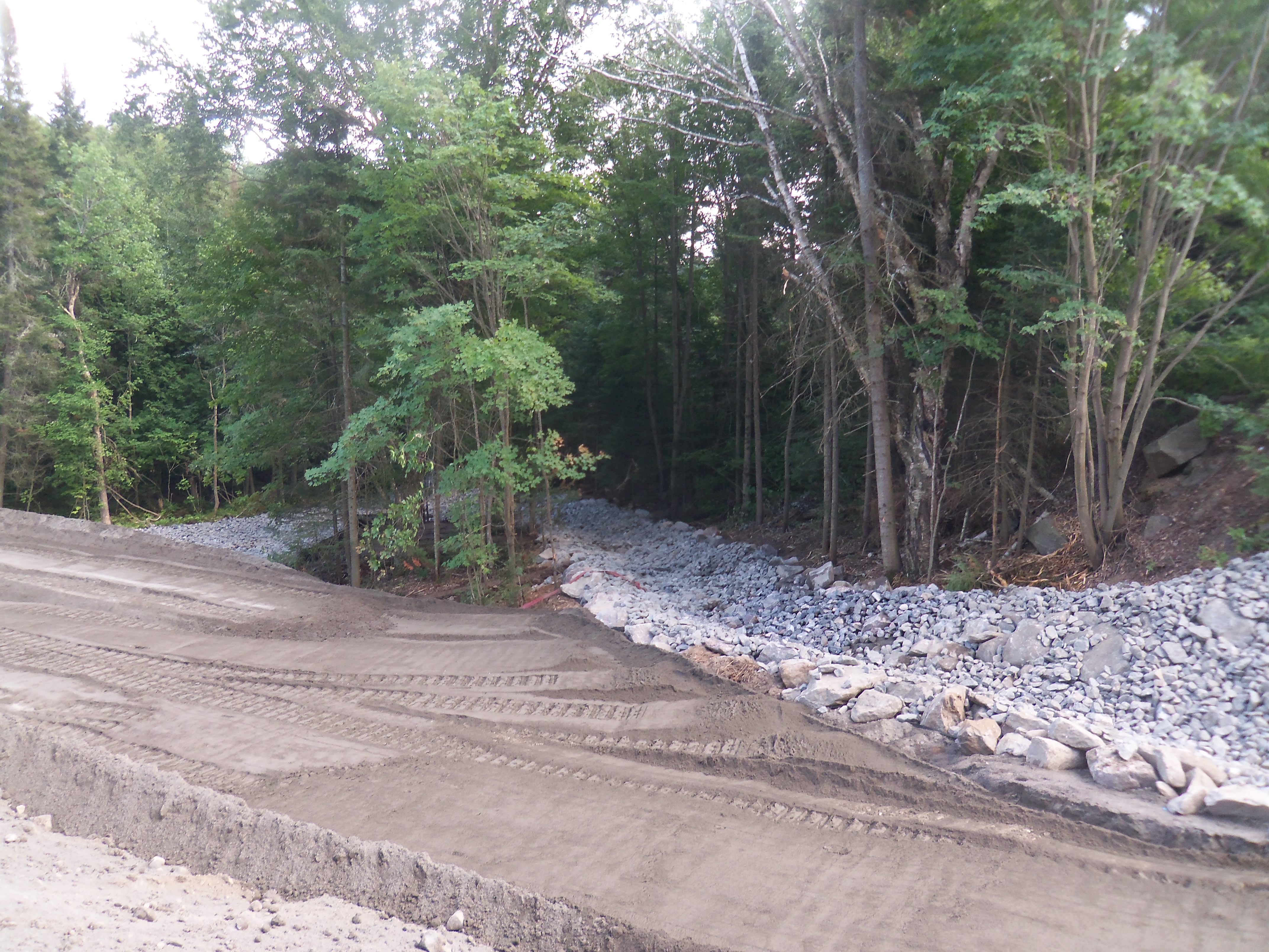
Section 28 Permits
NBMCA has the responsibility, under the Conservation Authorities Act Section 28 to regulate development in and near rivers, streams, floodplains, wetlands, and steep slopes. It does so under Ontario Regulation 41/24 - Prohibited Activities, Exemptions & Permits.
Under the Conservation Authorities Act, development means:
- the construction, reconstruction, erection or placing of a building or structure of any kind,
- any change to a building or structure that would have the effect of altering the use or potential use of the building or structure,
- increasing the size of a building or structure or increasing the number of dwelling units in the building or structure,
- site grading, or
- the temporary or permanent placing, dumping or removal of any material, originating on the site or elsewhere.
Anyone considering a project in the regulated area may need a Section 28 permit from NBMCA. For a map of NBMCA’s jurisdiction, policies and guidelines which guide NBMCA’s decision making on permits, application forms or any additional program information, visit the Section 28 Permits section of the website.
Online Approximated Regulated Area Screening Maps
NBMCA staff use detailed maps to review and determine hazards or features on the ground when screening planning and development applications. These maps allow for transparency for municipalities, landowners and public when planning a development to help determine if their property is within an area regulated by NBMCA. Map Your Property
On-site Sewage System (Septic) Permits
In Ontario, the requirements for construction and maintenance of on-site sewage systems are regulated under the Ontario Building Code (OBC) Section 8.
In 1996, NBMCA was designated under the OBC Part 8 to conduct inspections, issue sewage system permits, and investigate violations across Nipissing District. Parry Sound District (with the exception of the Township of the Archipelago) was added in 1998. NBMCA's sewage system jurisdiction includes unorganized territories within those districts and a portion of Algonquin Park.
For more information, visit the On-Site Sewage System section of the website.
Legal Inquiries
The North Bay-Mattawa Conservation Authority offers a solicitor and realtor inquiry service to assist in providing the public with the best information available regarding NBMCA’s interests throughout the watershed. In responding to these requests, NBMCA staff screens the property and issues a letter stating whether a property is affected by NBMCA’s Ontario Regulation 41/24 and/or Part 8 (Sewage Systems) of the Ontario Building Code. In addition, the letter will outline where there may be an outstanding violation on the property and how to proceed to address the matter.
In general, requests are reviewed based on the order in which they are submitted recognizing that NBMCA is responsible to provide a consistent level of service for all programs offered throughout the jurisdiction.
For more information, visit the DIA or On-site Sewage System sections of the website.
Fees
The Conservation Authorities Act and the Ontario Building Code enable NBMCA to charge fees for services. The Fees are approved by the NBMCA Board of Directors. Our Fees Policy is based on three principles: user-pay, adequate consultation and notification, and right to appeal.
The fee structure for planning and compliance/regulation activities is designed to recover but not exceed the costs associated with the administration and delivery of the services within the program. These services include permit fees, applications under the Planning Act, various responses concerning legal services, public inquiries, and technical advice/services, etc.
NBMCA Board Approves Updates to Planning & Development Policies and Screening Maps - September 23, 2020
North Bay-Mattawa Conservation Authority (NBMCA) has prepared two comprehensive documents as they relate to permitting and plan review and updated its approximate regulated area screening maps.
The “Planning and Development Administrative Procedural Manual” has been created to allow the public to better understand and navigate the permitting and review processes of NBMCA’s Planning, On-site Sewage Systems, and Regulations programs.
The “Policies for the Administration of Ontario Regulation 177/06 Development, Interference with Wetlands and Alterations to Shorelines and Watercourses” document has been created to provide a clear understanding of NBMCA’s role, mandate and responsibilities relating to the Conservation Authorities Act and permitting process.
NBMCA recently completed an update to the wetland mapping information to better reflect the features on the landscape. The update provides more accurate and up-to-date "Approximate Regulated Area Screening Maps" that are used to identify properties which fall within NBMCA’s regulated area.
The approval followed a five week public consultation and commenting process that closed August 14, 2020
More Information
- Planning & Permits Overview
- Section 28 Permits
- Map Your Property
- On-site Sewage System (Septic) Permits
- Municipal Plan Reviews
- Reviews & Legal Inquiries
- Application Forms & Fees
- Client Service Standards
- Policies, Guidelines & Manuals
- Planning & Development Administrative Procedural Manual
- Policy Manual for Administration of ON Regulation 177/06