There was no snow to measure at the local monitoring locations reports the North Bay-Mattawa Conservation Authority (NBMCA) who measures snow depth and water content as part of its Flood Forecasting and Warning Program.
“Above freezing temperatures and a rain event melted the snow that was reported on the previous snow survey on March 22,” said Angela Mills, NBMCA Water Resources Specialist. “In the 36-year data record, there have been up to 11 years reporting no snow at the beginning of April”, she added.
NBMCA has changed the way snow survey measurements are compared to historical conditions. With day-to-day differences in snowpack conditions, these changes include reporting a range of normal values that would be expected in most years and communicating a comparison of current measurements relative to these normal conditions. A new Snow Survey web page is available with more snow survey program information and this season's measurements. https://nbmca.ca/watershed-management/snow-survey/
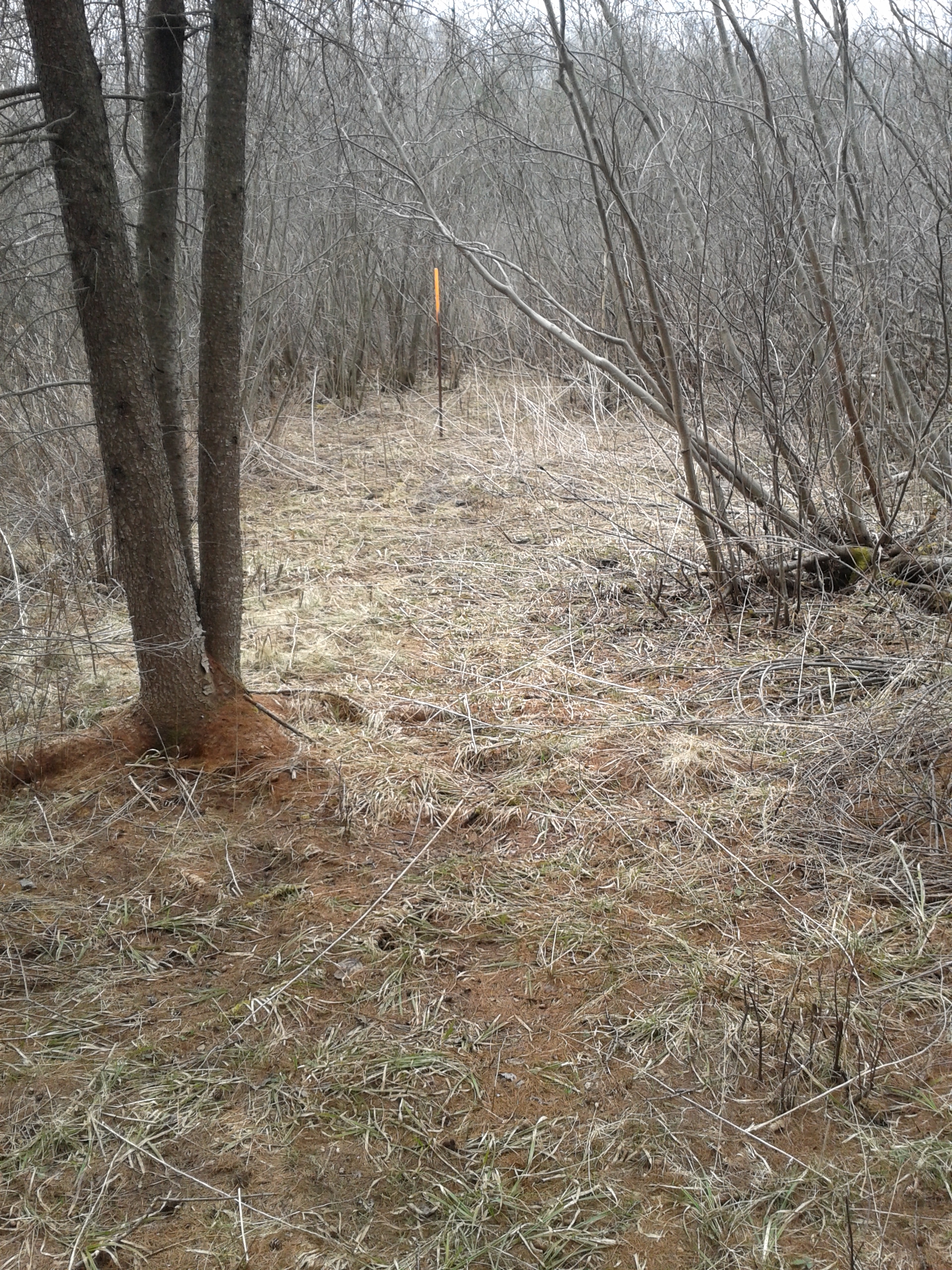
Snow is measured for depth and water equivalence at three locations in the watershed. Staff will continue to monitor landscape conditions and will report if snow is present again for scheduled snow surveys.
North Bay Golf and Country Club (Chippewa Creek Watershed, North Bay)
*Data prior to Dec. 2011 collected at the former Northeast Mental Health Centre, Hwy 11
|
Current Snow Depth for April 2, 2024 |
0 cm (well below normal) |
|
Water Equivalence for April 2, 2024 |
0 mm (well below normal) |
|
Snow Depth last year for April 2, 2023 |
52.3 cm |
|
Normal Snow Depth |
8.8 cm to 39.1 cm |
|
Highest recorded snow depth for April 2 since 2012* |
75.7 cm in 2014 |
Corbeil Conservation Area (La Vase River Watershed, Corbeil)
|
Current Snow Depth for April 2, 2024 |
0 cm (normal) |
|
Current Water Equivalence for April 2, 2024 |
0 mm (normal) |
|
Snow Depth last year for April 2, 2023 |
48.6 cm |
|
Normal Snow Depth |
0 cm to 40.0 cm |
|
Highest recorded snow depth for April 2 since 1988 |
71.9 cm in 2014 |
Shirley Skinner Conservation Area (Kaibuskong River Watershed, Chisholm)
|
Current Snow Depth for April 2, 2024 |
0 cm (below normal) |
|
Current Water Equivalence for April 2, 2024 |
0 mm (below normal) |
|
Snow Depth last year for April 2, 2023 |
51.4 cm |
|
Normal Snow Depth |
20.8 cm to 38.8 cm |
|
Highest recorded snow depth for April 2 since 2007 |
71.3 cm in 2019 |
The North Bay-Mattawa Conservation Authority (NBMCA) was founded in 1972 by the Province of Ontario. NBMCA is one of 36 Conservation Authorities in Ontario responsible for watershed management on behalf of local municipalities, stakeholders, and the province.
The public can follow NBMCA on the web at nbmca.ca, on X (Twitter) (@theNBMCA), Facebook (@theNBMCA) and Instagram (nbmcainfo).
For more information, contact:
Angela Mills, Water Resources Specialist (705) 497-4668
David Ellingwood, Director, Water Resources (705) 474-5420