With the mild weather and below normal precipitation the last two weeks, the snowpack is well below normal for this time of year reports the North Bay-Mattawa Conservation Authority (NBMCA) who measures snow depth and water content as part of its Flood Forecasting and Warning Program. The snowpack has decreased by 6.5 cm and the snow water equivalent increased by 4.3 mm since the last snow survey on January 15, 2024.
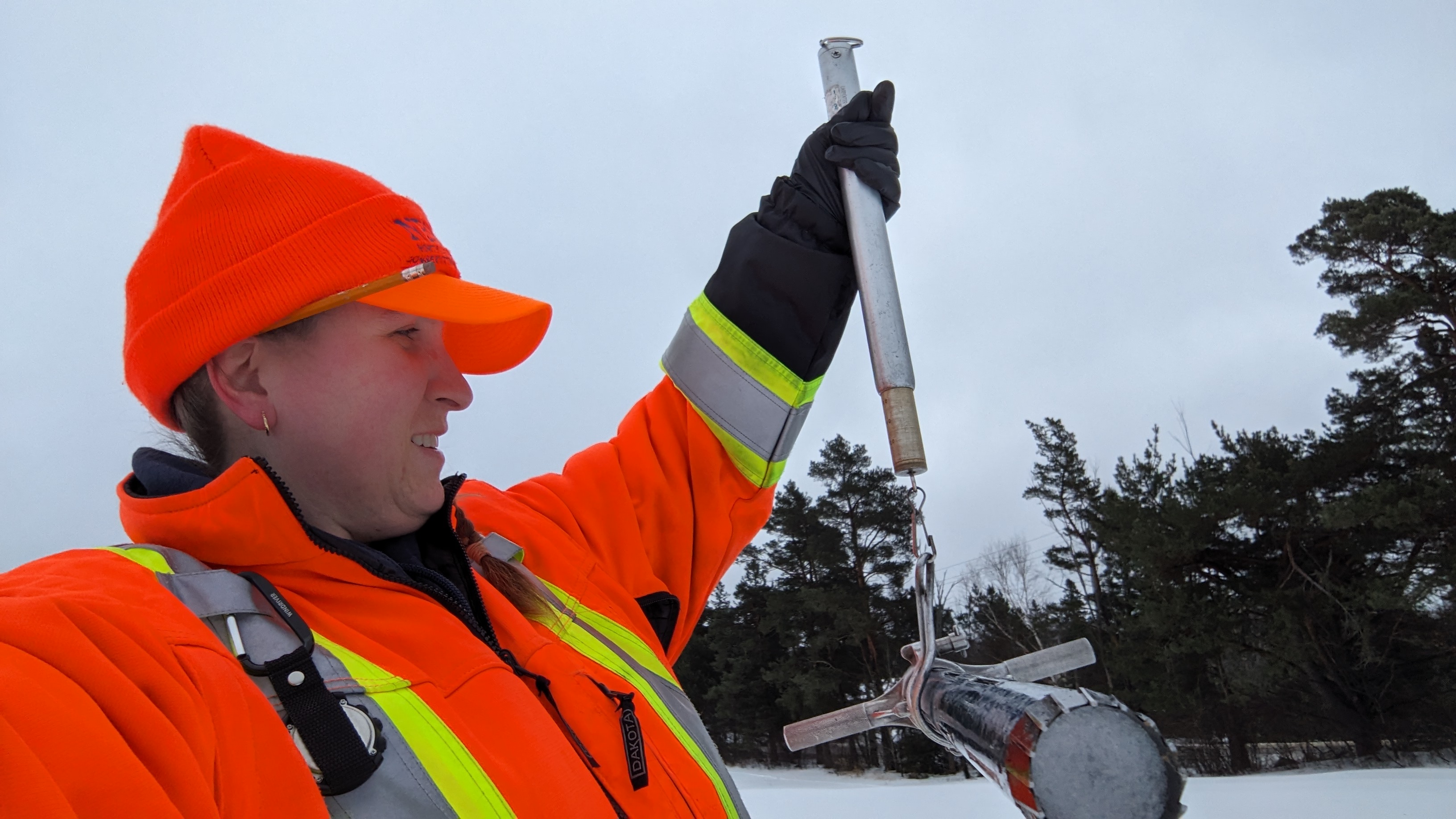
“The average snow depth for all three locations is 19.7 cm (well below normal) and water equivalence for the three sites is 52.3 mm (below normal)”, said Angela Mills, NBMCA Water Resources Specialist. “Only 1988 recorded less snow than 2024 at Corbeil, while the North Bay and Shirley Skinner sites have recorded new historic minimum snow depth for this time of year”, she added.
NBMCA has changed the way snow survey measurements are compared to historical conditions. With day-to-day differences in snowpack conditions, these changes include reporting a range of normal values that would be expected in most years and communicating a comparison of current measurements relative to these normal conditions. A new Snow Survey web page is available with more snow survey program information and this season's measurements. https://nbmca.ca/watershed-management/snow-survey/
Snow is measured for depth and water equivalence at three locations in the watershed.
North Bay Golf and Country Club (Chippewa Creek Watershed, North Bay)
*Data prior to Dec. 2011 collected at the former Northeast Mental Health Centre, Hwy 11
|
Current Snow Depth for February 1, 2024 |
22.7 cm (below historic minimum) |
|
Water Equivalence for February 1, 2024 |
64.0 mm |
|
Snow Depth last year for February 1, 2023 |
56.8 cm |
|
Normal Snow Depth |
34.7 cm to 49.6 cm |
|
Highest recorded snow depth for February 1 since 2012* Lowest recorded snow depth for February 1 since 2012* |
64.3 cm in 2019 34.5 cm in 2016 |
Corbeil Conservation Area (La Vase River Watershed, Corbeil)
|
Current Snow Depth for February 1, 2024 |
17.0 cm (well below normal) |
|
Current Water Equivalence for February 1, 2024 |
48 mm |
|
Snow Depth last year for February 1, 2023 |
50.4 cm |
|
Normal Snow Depth |
36.2 cm to 51.5 cm |
|
Highest recorded snow depth for February 1 since 1988 Lowest recorded snow depth for February 1 since 1988 |
72.7 cm in 2019 14.2 cm in 1988 |
Shirley Skinner Conservation Area (Kaibuskong River Watershed, Chisholm)
|
Current Snow Depth for February 1, 2024 |
19.3 cm (below historic minimum) |
|
Current Water Equivalence for February 1, 2024 |
45.0 mm |
|
Snow Depth last year for February 1, 2023 |
48.7 cm |
|
Normal Snow Depth |
32.2 cm to 48.7 cm |
|
Highest recorded snow depth for February 1 since 2007 Lowest recorded snow depth for February 1 since 2007 |
75.1 cm in 2019 24.8 cm in 2008 |
The North Bay-Mattawa Conservation Authority (NBMCA) was founded in 1972 by the Province of Ontario. NBMCA is one of 36 Conservation Authorities in Ontario responsible for watershed management on behalf of local municipalities, stakeholders, and the province.
The public can follow NBMCA on the web at nbmca.ca, on X (Twitter) (@theNBMCA), Facebook (@theNBMCA) and Instagram (nbmcainfo).
For more information, contact:
Angela Mills, Water Resources Specialist (705) 497-4668
David Ellingwood, Director, Water Resources (705) 474-5420